top of page
Land Surveying Project
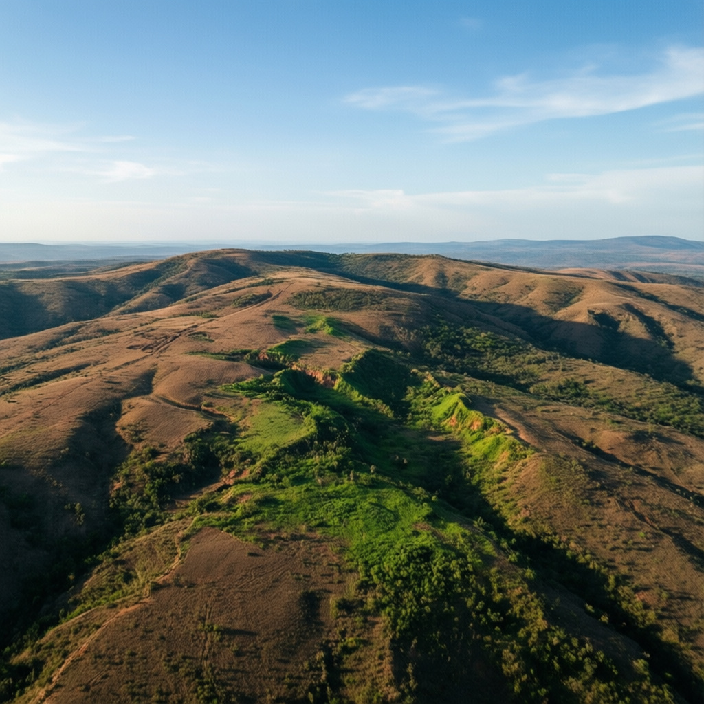
Aerial surveying of a land parcel using advanced drone technology. The goal was to create precise topographical maps and gather essential data for planning and development, helping clients understand their land assets better and avoid future expenditure.

01
Land Surveying Project

bottom of page